Why Integrated Civil Engineering and Landscape Architecture Saves Time in NWA Projects
QUICK ANSWER: Civil engineering and landscape architecture NWA projects move faster when one firm prepares both disciplines on a shared base map. Grading, stormwater, utilities, tree preservation, and planting are drawn together, so the sheets a city reviewer opens do not contradict each other. That removes the most common cause of repeat submittals: a drainage basin that conflicts with a planting plan, or a tree placed over a utility easement. In our office, James Geurtz, PE, leads the technical site engineering and Sarah Geurtz, RLA, leads the landscape design, and the two plan sets are developed side by side from the first site visit. The result is fewer design conflicts, cleaner reviews, and a project that keeps its momentum from concept through construction.
A plan set goes to the city on a Monday. By Friday, the review comments arrive, and two of them point in opposite directions. The engineer's sheets show a detention basin in the southwest corner of the lot. The landscape sheets, prepared by a different office, show a row of canopy trees and a seating area in that same corner. Neither plan is wrong on its own. They were simply never laid on top of each other.
Now the project team has to reconcile two sets of drawings, two sets of calculations, and two sets of assumptions, all while a review clock keeps running. Each round of revisions adds days, and each added day pushes back bidding, mobilization, and opening dates.
We see this pattern often across Northwest Arkansas, where growth keeps development schedules tight and sites are rarely simple. This article explains where design friction comes from, how a single firm that handles both civil engineering and landscape architecture avoids it, and what that means for owners, builders, and developers working through site planning in Springdale AR and the cities around it.
Where Design Friction Comes From
On a typical site, the civil engineer and the landscape architect are solving overlapping problems with different tools. The engineer shapes the ground, sizes pipes and basins, lays out water and sewer service, and checks that stormwater leaves the property at a rate the downstream system can handle. The landscape architect shapes the experience of the site, choosing planting, hardscape, paths, screening, and tree preservation.
When those two jobs happen in separate offices, they usually run on separate timelines. The engineer finishes a grading plan, and the landscape architect receives it as a finished product. By then, many decisions are locked in. A slope that is a little too steep for lawn, a basin with side walls too severe for native planting, or a utility corridor that cuts straight through the best stand of existing trees can all be baked into the engineering drawings before anyone with a planting eye has looked at them.
The same thing happens in reverse. A landscape concept might call for berms, a water feature, or a plaza grade that the stormwater design cannot accommodate without a rework. Fixing it late means reopening calculations, reissuing sheets, and often reshuffling the layout of the whole site.
Common friction points include:
- Detention and water quality basins that occupy the same space as planned open space or plantings.
- Utility easements and trees competing for the same strip of ground.
- Retaining walls and grade changes that shift after the planting plan is already drawn.
- Drainage swales that cross pedestrian routes or accessible paths at the wrong slope.
- Tree protection areas that conflict with the limits of grading and construction access.
Each of these is easy to solve when both disciplines are working from the same drawing on the same day. They add weeks to the calendar when a reviewer is the one who discovers them.
What One Firm Under One Roof Looks Like
Earthplan Design Alternatives has been a family owned, owner led practice in Springdale since 1995, and the structure of the office is the reason this approach works. James Geurtz is a Professional Engineer licensed in Arkansas and a Certified Floodplain Manager. Sarah Geurtz is a Registered Landscape Architect in Arkansas. They work from the same office, on the same base files, and they talk about the same site at the same table.
In practice, that changes the order of operations. Instead of handing a finished plan from one desk to another, the two disciplines build the site together.
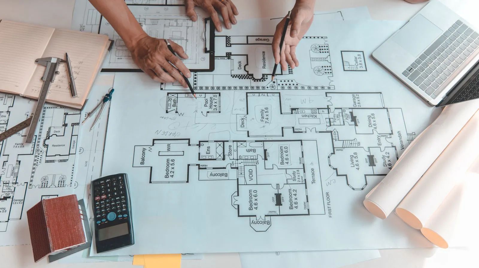
The first site visit is shared, so the engineer's eye for drainage paths, outfall locations, and soil behavior is paired with the landscape architect's eye for existing trees, views, edges, and how people will move across the property. The survey is loaded once, and both sets of drawings reference it. Early sketches show grading, utilities, and planting zones on a single sheet, so conflicts appear as overlapping lines on a drawing, not as comments in a review letter.
This is what people mean by integrated design. It is not a marketing phrase. It is a scheduling decision. When the person calculating the basin and the person selecting its plants are reviewing the same cross section, the basin is designed once, and it is designed to work.
Site Analysis Comes First, For Both Disciplines
Good site planning starts with understanding what the property already does. Northwest Arkansas sites carry a particular set of conditions that shape both engineering and planting decisions:
- Heavy clay soils that infiltrate slowly and hold water near the surface.
- Ozark topography, with slopes that move water quickly and limit where buildings and drives can sit.
- Karst features and shallow rock in parts of Washington and Benton Counties, which affect excavation, utilities, and how stormwater is handled.
- Creek corridors and mapped floodplain edges that influence where development can reasonably occur.
- Heavy spring rains that test every drainage feature on a site.
A site analysis that covers all of this is the foundation for the whole plan. When the engineer and the landscape architect both contribute to it, the result is a single set of findings that guides every later decision. The engineer identifies where water wants to go. The landscape architect identifies which existing trees and natural features are worth protecting and where planting can do useful work, such as slowing runoff, stabilizing a slope, or screening a loading area.
That shared analysis also gives the city something clear to review. A site plan that explains what was found and why the layout responds to it tends to prompt fewer questions from staff than a plan that looks as if the site features were added afterward.
Stormwater as a Design Feature, Not an Afterthought
Stormwater is where integration pays off most visibly. Detention basins, swales, bioretention areas, and outfall channels take up real space. On a tight lot, the question of where they go is also a question of where everything else goes.
When engineering and landscape design are handled together, a basin can serve more than one purpose. Shaped with gentler side slopes, planted with native grasses and deep rooted perennials, and placed where it fits the overall layout, it becomes part of the site's open space instead of a fenced hole in the corner. Swales can follow natural low lines and double as green corridors. Rain gardens can sit at downspout outlets and soften the edge of a parking field.
These features still have to do their engineering job. They must hold and release water at the rates the calculations require, and they must drain on clay soil within a reasonable period so that standing water does not become a maintenance problem. That is why a single team matters. The engineer sets the performance targets, the landscape architect designs the form and planting, and they confirm together that the finished feature meets both goals before anything is submitted.
TIP: Ask your design team to show basins, swales, and planting zones on one overlay sheet early in the project. If the overlay looks crowded in a particular corner, it is far easier to adjust the layout at the sketch stage than after calculations and planting schedules have been drawn.
Utilities and Trees Need to Be Planned Together
Water lines, sewer mains, storm pipes, and service connections all need corridors. Trees need room too, both above ground for the canopy and below ground for roots. When the two are planned separately, trees often end up planted over utility alignments or too close to structures, and utilities end up routed through areas that were meant to stay green.
Under one roof, the utility layout and the planting plan are checked against each other as the design develops. Pipe alignments are adjusted to avoid the best existing trees where the engineering allows. Planting locations are set to respect utility corridors, access points, sight lines at driveways, and the space needed for future maintenance. This avoids the kind of late stage change where a tree has to be deleted from the planting schedule because a pipe was moved, or a pipe has to be rerouted because a tree was added.
Our utility design work for developers and communities follows the same principle: the layout should make sense to the person who will operate the system, the person who will maintain the grounds, and the reviewer who has to approve it.
TIP: If a site is still under contract, request the pre-application or Conceptual Meeting before closing rather than after. Every city in this guide requires some version of that early meeting, and the feedback from it, on required setbacks, drainage expectations, or design standards, can change what a parcel is actually worth to build on.
What City Reviewers Actually See
Plan review at the municipal level generally involves several people looking at different parts of a submittal. Planning staff look at layout, access, and how the project fits the area. Engineering staff look at grading, drainage, and utilities. Others may review landscape, tree preservation, or fire access. In Northwest Arkansas, the details vary from Springdale to Rogers to Bentonville to Fayetteville, and each city has its own submittal expectations and schedule. Checking directly with the planning department on current forms and timelines is always a sound first step.
What every reviewer shares is a need for plans that agree with each other. When a drainage sheet, a utility sheet, a landscape sheet, and a grading sheet all show the same basin in the same place at the same elevation, reviewers can focus on the substance of the project. When they do not agree, comments multiply, and many of them are really the same comment seen from different departments.
A coordinated set of drawings reads as a more complete submittal. Reviewers can follow the logic from site analysis to layout to detail. That does not guarantee that no comments will be issued, since reviewers always have their own questions, but it removes the avoidable ones.
WARNING: Do not send sheets to the city in separate pieces from separate offices and plan to reconcile them during review. A conflict that surfaces in a comment letter means revised drawings, updated calculations, and another round of review, often for a problem that could have been caught on one overlay in the first week.
Continuity Through Construction
The advantage of integrated design does not end at approval. Once a project is built, the details that looked clean on paper meet real soil, real weather, and real contractors. Questions come up about a pipe elevation, a wall location, a substituted plant, or a stockpile in the wrong place.
Because the same firm designed the engineering and the landscape, construction administration can address those questions in one conversation. A contractor asking about a swale slope is talking to the team that also knows what is planted in it. A change to a retaining wall can be evaluated for its effect on drainage, utilities, and planting at the same time. That continuity keeps small field questions from becoming schedule delays.
Where This Matters Across Northwest Arkansas
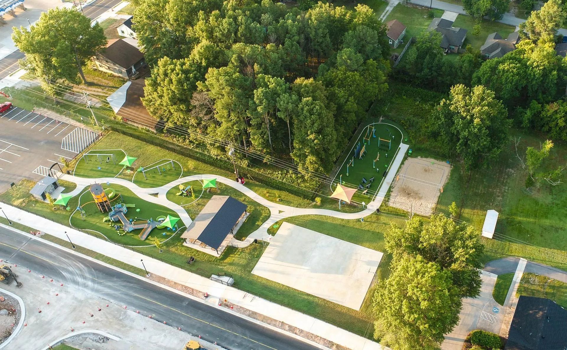
Integrated site design is useful on almost every project type we see. Residential subdivisions in Springdale, Lowell, and Bentonville need coordinated drainage, street trees, and common areas. Commercial sites in Rogers and Fayetteville need parking, access, and stormwater to share limited acreage. Parks and trail projects in Bella Vista, Siloam Springs, and Pea Ridge combine grading, water management, and planting in nearly every design. Municipal projects and ordinance work benefit from engineers and landscape architects who understand how both sides of the review table think.
Across all of these, the common thread is simple. Fewer disconnects between disciplines mean fewer corrections, and fewer corrections mean a calmer schedule.
Frequently Asked Questions
What does integrated civil engineering and landscape architecture actually mean?
One firm develops the site engineering and landscape design together on shared base drawings. Grading, stormwater, utilities, trees, and planting are checked against each other as the design develops.
How does this reduce time during city submittals?
Reviewers receive plans that agree with each other. That means fewer conflicting comments, fewer repeat submittals, and fewer revisions caused by one discipline changing something the other had relied on.
Does an integrated approach still involve engineering review?
Yes. A licensed Professional Engineer still prepares and seals calculations, drainage, and utility layouts, and a Registered Landscape Architect prepares landscape plans. The difference is coordination throughout the design.
Can stormwater features also be attractive and functional?
Yes. A well designed basin or swale meets its holding and release targets while serving as planted open space. Plants and side slopes are chosen for both engineering performance and appearance.
Is this approach only for large developments?
No. Small commercial lots, park improvements, and single building projects benefit too, because even small sites must balance drainage, utilities, access, and planting within limited space.
When should we bring in a site design team?
As early as possible, ideally before the layout is fixed or the survey is finalized. Early involvement lets both disciplines shape the site together and gives the city a coordinated plan.
One Team Keeps the Whole Site Aligned
Integrated design saves time because conflicts surface on the drawing board instead of in a review letter. When grading, stormwater, utilities, trees, and planting are drawn on one shared base map, a basin does not compete with a seating area and a tree does not sit over an easement. Reviewers see sheets that agree with each other, comments stay focused on the project itself, and the schedule holds from the first site visit through construction.
Earthplan Design Alternatives
has practiced from Springdale, Arkansas for 30
years, and the benefit shows most on sites with clay soils, steep ground, and tight acreage. A basin designed together with its planting, a utility corridor planned around existing trees, and a contractor who can reach one team with field questions all keep small issues small. Cities set their own requirements, but coordinated plans give any reviewer less to untangle and more to approve.