Fast Tracking Municipal Approvals in Northwest Arkansas: A Developer's Guide
QUICK ANSWER: Site plan approval in Northwest Arkansas moves fastest when the hard questions are answered before the plans reach the city. A NWA land development consultant or civil engineer NWA developers work with typically starts with proactive site analysis covering topography, soils, creeks, and access, then lays out utilities and checks floodplain mapping early, so the submittal shows that the major issues are already understood. Staff reviewers, planning commissions, and city councils in Washington and Benton Counties respond best to complete, coordinated plans with clear drainage and utility logic. Pre application conversations with planning staff, a clean set of sheets, and a design that responds to real site conditions are the habits that keep a project moving from one meeting to the next.
A developer buys a promising ten acre tract near a growing corridor. The concept looks good, the market is strong, and the schedule assumes a quick path through the city. Then the plans reach staff review, and the comments begin. The drainage outfall crosses a neighbor's property. A water main is shown too small for the fire flow the city wants to see. A corner of the lot sits inside a mapped floodplain that nobody checked. Each question is reasonable, and each one sends the team back to the drawing board.
Delays like these rarely come from a single large problem. They come from small gaps that a reviewer finds one at a time, with each fix pushing the project to the next meeting date. Northwest Arkansas moves quickly, and planning commissions and councils in Rogers, Bentonville, Springdale, Fayetteville, and the smaller towns around them see a steady flow of submittals. The projects that move cleanly are usually the ones that arrived prepared.
This guide walks through what that preparation looks like, from a developer's point of view, and how a civil engineer and site design team can help a project reach city staff, a planning commission, and a city council with fewer surprises. It describes how the work is done and why it helps. It is general information about practice, not legal advice, and every city sets its own forms, schedules, and expectations.
Understand How the Approval Path Works
Most municipal review in Northwest Arkansas follows a familiar shape, though the names and details differ from city to city. A project is submitted to the planning or community development department. Staff members from planning, engineering, utilities, fire, and sometimes parks review the package and issue comments. The design team responds with revised drawings. When staff is satisfied, the project goes to a planning commission for a public meeting, and certain projects continue on to the city council.
Along the way, different people look for different things. Planning staff consider how the project fits the surrounding area and the city's plans. Engineering staff examine grading, drainage, streets, and utilities. Fire and utility staff check access and service. Commissioners and council members hear from the staff report, the applicant, and often from neighbors, and they tend to ask practical questions about traffic, drainage, and compatibility.
Because every city differs, the first step on any project is a direct conversation with the planning department in the city where the site sits. Staff can explain the current submittal checklist, meeting calendar, and any special areas or overlays that affect the property. Cities across the region also revise their development rules from time to time, so checking the current version before design begins is always worthwhile.
Start With Proactive Site Analysis
The strongest submittals start with a thorough look at the property before any layout is drawn. Site analysis answers the questions reviewers will eventually ask, and it answers them in the developer's favor when the answers shape the design from the beginning.
A useful site analysis in Washington and Benton Counties looks at:
- Topography and slope, including areas where grades limit where buildings, streets, and detention can reasonably sit.
- Soils, particularly the heavy clay that dominates many sites and affects drainage, foundations, and the performance of stormwater features.
- Karst and shallow rock, which can affect excavation, utility trenching, and how runoff is managed in parts of the region.
- Existing drainage paths, culverts, and creeks that carry water onto, across, or away from the property.
- Existing trees and natural features worth preserving or planning around.
- Access points, adjoining streets, sight lines, and nearby development.
Our landscape architecture and civil engineering teams look at these together. The result is a clear picture of what the site can support and where the constraints are, which keeps the layout honest. A plan that responds to the land reads very differently to a reviewer than a plan that fights it.
Check Floodplain Mapping Early
Floodplain status is one of the most common sources of late surprises. Many Northwest Arkansas properties sit along creeks, tributaries, or low drainage corridors, and mapped flood hazard areas can touch parcels that look dry on a normal day.
Checking the mapped floodplain at the very start tells the team whether any part of the site is affected and how much of the layout will be influenced. Cities that participate in the national flood insurance program designate a floodplain administrator who reviews development near mapped flood hazards. Having a Certified Floodplain Manager on the design team, as we do with James Geurtz, means someone on the project already speaks that language. He can review the mapping, talk with the city's floodplain administrator, and explain what the mapped area means for the layout.
When a site does include floodplain, hydraulic modeling can show how the proposed grading and structures would interact with flood flows. Showing that analysis in the submittal answers a question before it is asked. Planning commissioners and council members tend to take comfort when a team can speak plainly about how a project handles flood risk.
TIP: Pull the floodplain map and walk the creek edges before you finalize a concept plan. Knowing where flood hazard areas sit lets you place buildings, parking, and detention with confidence, and it prevents the kind of redesign that follows a reviewer's first comment.
Lay Out Utilities Before the Plan Is Locked
Water, sewer, and storm drainage tie a project to the surrounding infrastructure. Reviewers look closely at whether those connections make sense, and utility questions can stall a project quickly if they are not resolved.
A proactive utility layout starts by identifying where existing lines are, what size they are, and what capacity and pressure the utility provider can describe. It then lays out the proposed service in a way that fits the site plan, avoids conflicts with trees and structures, and respects easements. Fire protection needs its own attention, because hydrant spacing, flow, and access for fire apparatus shape both the utility design and the street layout.
Our utility design work for developers and communities starts with these questions. The aim is for a reviewer to open the utility sheet and see that the water main connects where it should, the sewer grades work, and the easements are shown where the lines run. Cities generally respond well to plans where the utility logic is visible, and a utility provider who has already seen the proposed layout is less likely to raise new questions at the last moment.
Show Your Stormwater Thinking
Stormwater is another topic that draws attention from staff, commissioners, and neighbors. Washington and Benton Counties see heavy spring rains, clay soils that infiltrate slowly, and steep terrain that moves water quickly. Residents downstream of a new development will often ask what happens to the runoff.
A good stormwater submittal explains where water enters the site, where it leaves, and what the project does in between. Detention basins, swales, and water quality features are sized to the storm events the city expects the project to address, and the calculations match the drawings. The outfall is shown and confirmed to reach a safe discharge point. Erosion control during construction is addressed too.
Developers sometimes treat stormwater as a technical detail to finish after the layout is set. In practice, it is one of the main drivers of layout, because basins and channels occupy real space. Early planning keeps the site plan realistic and gives staff an easy answer when a commissioner asks about drainage at the public meeting.
TIP: If a site is still under contract, request the pre-application or Conceptual Meeting before closing rather than after. Every city in this guide requires some version of that early meeting, and the feedback from it, on required setbacks, drainage expectations, or design standards, can change what a parcel is actually worth to build on.
Prepare a Complete and Coordinated Submittal
Staff reviewers are most efficient when they receive a package that is complete, consistent, and easy to follow. An incomplete package often leads to a request for missing items before review can really begin, which adds time before the first meaningful comment arrives.
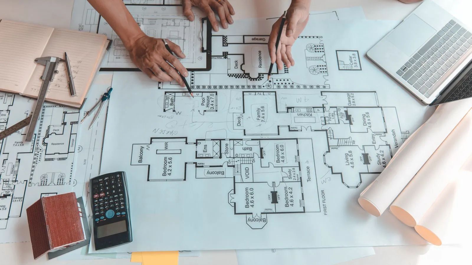
A strong submittal tends to include a clear site plan, grading and drainage plans with supporting calculations, a utility plan, a landscape plan, any required studies, and a narrative describing the project. Every sheet agrees with every other sheet, and the numbers on the drainage report match the sizes shown on the plans.
This is where an integrated team helps. When the civil engineer and the landscape architect work from the same base drawings, the grading, planting, tree preservation, and detention features agree before anything leaves the office. Reviewers do not have to untangle conflicts between departments, and the comments they write are about the project itself.
WARNING: A rushed submittal with missing sheets or mismatched numbers can lose more time than it gains. If the city has to return the package or issue a long list of corrections, the next available meeting date may be weeks away. Take the extra days to check the package against the city's current checklist before it goes in.
Talk With Staff Before You Submit
One of the most useful habits in Northwest Arkansas development is an early conversation with city staff. Many cities offer pre application meetings or informal reviews where a developer can present a concept and hear first reactions.
These conversations help in several ways. Staff can flag issues specific to the location, such as street plans, utility upgrades under discussion, or neighborhood concerns. The design team learns how staff reads the city's current standards. The developer learns what the likely timeline looks like. And staff gets an early look at the project, which builds familiarity and trust.
For a project aiming at site plan approval in Rogers AR, Bentonville, or Springdale, that early conversation can shape the whole design. Ask what documents are expected, which departments will comment, which meeting would apply, and whether any special studies are likely to come up. Then build the submittal around those answers.
Prepare for the Planning Commission and City Council
When a project reaches a public meeting, the quality of the presentation matters. Commissioners and council members are volunteers or elected officials who see many projects, and they respond to clarity.
Helpful preparation includes a short, plain presentation of what the project is and how it fits its surroundings, a clear exhibit showing the layout and the way traffic, drainage, and utilities work, answers ready for the questions neighbors commonly raise, and a representative who can explain the technical points without jargon. A civil engineer who can discuss grading and drainage in ordinary language is a real asset at the podium.
It also helps to understand the neighbors. Concerns about traffic, runoff, lighting, and screening are common. A landscape plan that shows buffers and preserved trees, and a drainage plan that explains how runoff is handled, address those concerns visibly. When a project has already responded to likely objections, the meeting tends to go more smoothly.
Stay Involved After Approval
Approval is a milestone, not the finish line. Construction plans, final reviews, and field inspections follow, and the design team's continued involvement keeps the project aligned with what was approved. Construction administration, including submittal review and responses to contractor questions, keeps the build matching the drawings and helps prevent field changes that would send the project back for review.
A Practical Checklist for Developers
- Pull the floodplain mapping and review the site's creeks and low areas.
- Complete a site analysis covering slopes, soils, drainage, trees, and access.
- Confirm utility locations and capacity with the providers.
- Hold a pre application conversation with planning staff.
- Prepare coordinated civil and landscape sheets before submitting.
- Plan the stormwater approach early and show it clearly.
- Prepare a clear, plain language presentation for the commission and council.
None of these items is difficult on its own. The advantage comes from doing them all, in the right order, before the first submittal.
Frequently Asked Questions
What does a land development consultant do during approvals?
A land development consultant guides a project from site evaluation through final construction. That includes site analysis, engineering design, coordination with city staff, preparation of the submittal, and support through public meetings and construction.
How early should floodplain checks happen?
At the very beginning, before the concept plan is set. Knowing whether any part of the property sits in a mapped flood hazard area shapes where buildings, parking, and detention can go.
Do all Northwest Arkansas cities follow the same process?
No. The general path of staff review, planning commission, and sometimes city council is similar, but each city has its own forms, schedule, and standards. Always confirm current expectations with the planning department where the project is located.
Why do utility questions slow down so many projects?
Utilities connect a project to public infrastructure, so reviewers want to see that capacity, location, easements, and fire protection all work. Gaps in any of those areas lead to comments and revisions.
Is a pre application meeting worth the time?
In most cases, yes. It gives staff an early look, gives the team early feedback, and often prevents avoidable redesign after the formal submittal.
Is this guidance legal advice?
No. It describes how site design and engineering work is typically prepared for municipal review. Specific questions about requirements should go to the city's planning department or a qualified professional.
Arriving Prepared Is the Fastest Way Through
Municipal approval in Northwest Arkansas rarely stalls on one big issue. It slows when small gaps surface one comment at a time, each pushing the project toward the next meeting date. Early site analysis, a floodplain check, a utility layout that makes sense, and a clear stormwater approach answer most reviewer questions before they are asked. A coordinated set of sheets and a plain explanation at the podium help staff, commissioners, and council members see a project they can support.
Earthplan Design Alternatives
has guided developers through this process from Springdale, Arkansas for 30
years, and the pattern holds across Washington and Benton Counties. Projects that respond to the land, show their drainage and utility logic, and talk with city staff early tend to move through review with fewer revisions. Each city sets its own expectations, so the strongest preparation pairs sound engineering with a current understanding of what the local planning department wants to see.